Szczecinek 2021-01-18
The airport in Wilcze Laski near Szczecinek.
Geographic coordinates: 53.594N 16.719E. Elevation 155 m.
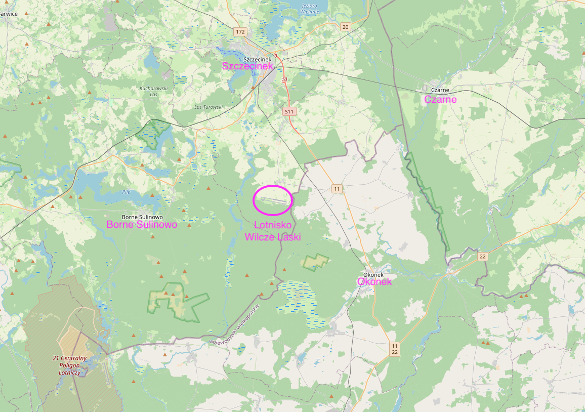
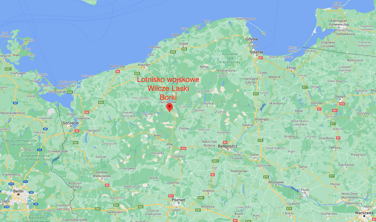
Wilcze Laski Airport is a former military airport with typical infrastructure from the 1950s. Other common names are Borki or Okonek. The airport is located approximately 14 km south of Szczecinek, near the town of Wilcze Laski. It belongs to the military complex currently called Borne Sulinowo and is located on its eastern edge, among forests and wastelands. Wilcze Laski Airport belongs to the West Pomeranian Voivodeship. Geographic coordinates: 53.594N 16.719E. Elevation 155 m.
Access to the airport.
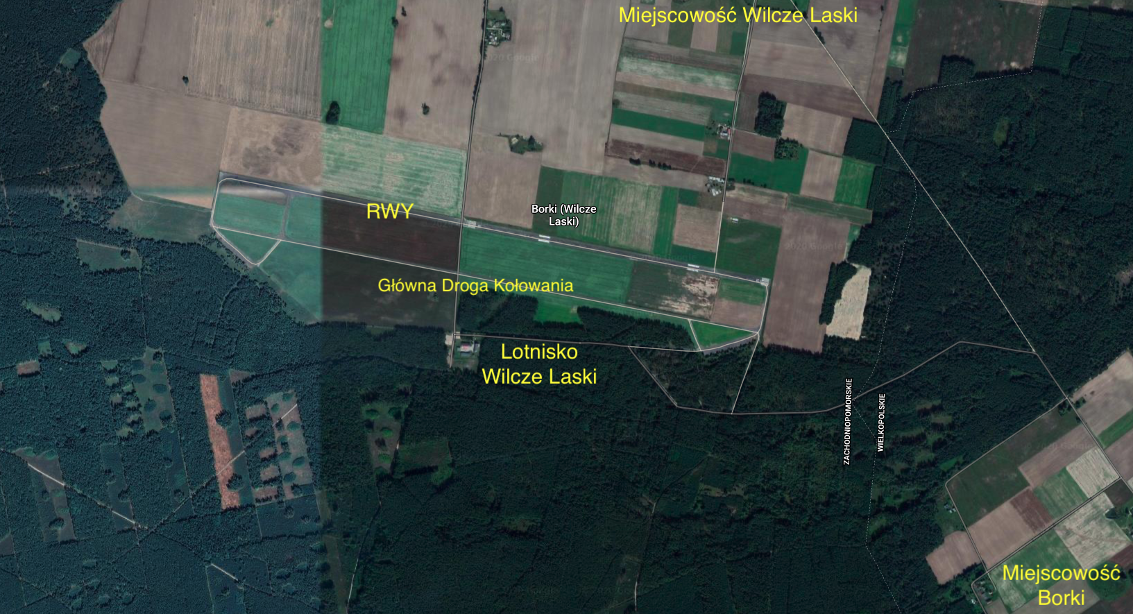
The road from Szczecinek is approximately 18 km long, following National Road No. 11 towards Piła we will reach the town of Lotyń. In this town you should turn right, west to the town of Borki, behind which there is a forest. Following the forest road (concrete and asphalt), after approximately 1,500 m we reach the airport. You can also get to the airport from Wilcze Laski, which is located north of the airport, approximately 1,500 m away.
The railway near the Wilcze Laski airport.
The railway line No. 405 Piła Główna – Ustka runs near the Wilcze Laski airport. The line provides transport from the center of Poland to the central Baltic coast. On the Piła – Szczecinek section, the trail is single-track and electrified. There are the following stations between Piłan and Szczecinek: Stara Łubianka, Płytnica, Ptusza, Jastrowie, Podgaje Koszalińskie, Okonek, Brokęcino, Lotyń, Turowo Pomorskie. The line was launched in 1878, during the times of the German Empire. Electrification took place in 1989. The length of the Piła Główna – Szczecinek route is 71 km. There was no railway siding to the Wilcze Laski airport. Military trains stopped at the Lotyń railway station. The distance from the Lotyń station to the airport is approximately 3,000 m.
Wilcze Laski Airport.
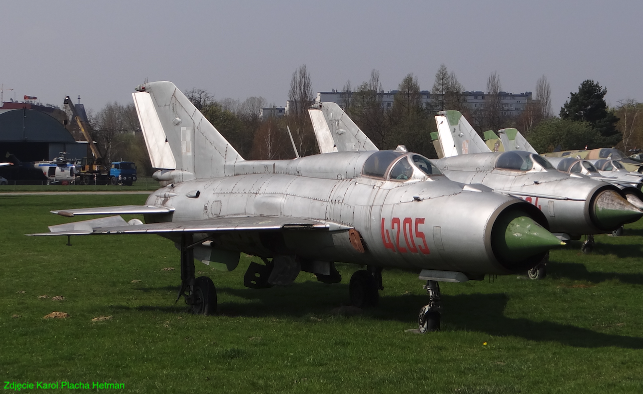
The airport was built in the 1950s. For many years it was a backup airport for the 6th PLM-B from Piłan and the 9th PLM from Debrzno. On average, planes of the above-mentioned Regiments arrived here 2-4 times a year. These were mainly Lim-2, Lim-5, Lim-6 bis, MiG-21 and Su-22 aircraft. The airport had typical infrastructure for alternate airports. The only permanent buildings were the command and flight control stations where the airport’s staff and permanent staff were stationed. It is a two-story building with no basement. The airport had an aircraft centering area located in the forest, with concrete stands. There was room for about 16-18 planes, half the size of a typical combat regiment. A temporary bomb depot was also organized in the forest. The airport did not have a permanent MPS squad. Propellants were delivered via car distributors for the duration of the exercises. Flight insurance in the form of radio communication, a radar system and night lighting was also developed for the duration of the exercises. During exercises (training grounds), officers were quartered in private houses in nearby towns. However, conscript soldiers camped in tents set up in the forest. Field kitchens provided food. Exercises were usually organized in spring-summer. Exercises were rarely carried out in the winter due to the lack of sufficient equipment and people to keep RWY in full readiness for use in the winter. There were fears that planes might become trapped after sudden heavy snowfall. Strike aircraft conducted flight exercises mainly at the nearby Nadarzyce training ground.
Wilcze Laski Airport has a RWY with dimensions of 2,300 m x 30 m, in the direction 10/28, with a concrete surface. Coordinates RWY 53°35′43″N 16°43′01″E. The airport also has a parallel taxiway, 10 m wide, on the south side.
Currently, Wilcze Laski is a private airport (?), but it is practically unused for aviation purposes. Only sometimes motor gliders or modelers come there and perform amateur flights. Adjacent areas are currently used for agricultural purposes. In the summer, model rallies, rallies of users of old vehicles and other motor events are held at the Szczecinek airport.
Written by Karol Placha Hetman


