Kraków 2013-02-04
Navigation.
Fundamentals of Geography in Aviation.
You cannot talk about navigation in aviation without knowing the basics of geography. Let’s start with what the Earth looks like. Its spherical shape was confirmed by sailors during great geographical discoveries (1450-1650). Then there were photos taken from stratospheric balloons and the first artificial satellites of the Earth. Cosmonauts and astronauts saw it with their own eyes.
Planet Earth.
The land is called Terra in Latin. It is the third largest planet from the Sun and the fifth largest planet in the Solar System. In terms of diameter, mass and density, it is the largest rocky planet in the solar system. The shape of the Earth is similar to a rotary ellipsoid. The rotation of the Earth causes the diameter of the equator to be 43 km larger than the diameter between the poles. The average diameter is 12,742 km. You could say that the Earth is a ball flattened at the poles. This flattening is only 21,385 km. The actual shape of a planet is called a geoid, which is a surface perpendicular to the vertical at each point of the planet. The null geoid would cover the surface of the oceans with their water masses in full equilibrium. The deviation of the geoid from the ideal ellipsoid ranges from -106 m to 85 m. Since geoid irregularities can play a role in precise positioning, reference to the ellipsoid is preferred for surveying and surveying. In comparison, the difference between a geoid and an ellipsoid is so small that if the Earth were a billiard ball it would have less distortion than a real billiard ball. (Earth tolerance 0.17%, billiard ball tolerance 0.22%.). The largest local variations in the Earth’s surface are Mount Everest (8,848 m above sea level) and the Marian Trench (10,911 m above sea level). The surface of the Earth is 510,072,000 km². Up to seven continents are distinguished on Earth, in order from largest to smallest area: Asia, Africa, North America, South America, Antarctica, Europe, and Australia. The land area is 148,940,000 km² (29.2%). There are also three, four or five oceans. In the five-ocean system, the following are listed from largest to smallest area: the Pacific Ocean, the Atlantic Ocean, the Indian Ocean, the Southern Ocean, and the Arctic Ocean. The area of the oceans is 361,132,000 km² of water (70.8%). Some Earth Math Data; Equatorial radius 6,378.1366 km. Circumference at the equator 40,075,014 km. Polar radius of 6,356.8 km. Circumference along the meridians of 40 007 km. Average radius of 6,371.0 km.
What we will mainly be interested in geography is; cartography (the art of making and studying maps), geodesy (studying location and distance), and navigation (studying position on the Earth’s surface).
The geographic grid of the Earth.
Compass maps in the period of great geographical discoveries became insufficient. At the same time, it turned out that our Earth (regardless of how it is imagined) is actually about four times larger than it was known. That it is not only limited to Europe, Africa and Asia. It has been proved that it is similar in shape to a sphere. So it was necessary to create a new frame of reference. Ptolemy Claudius was returned to science. Claudius Ptolemy or simply Ptolemy lived in the 2nd century CE. He was an astronomer, mathematician and geographer of Greek descent. He was one of those scholars who believed that the Earth was spherical or even spherical. Ptolemy was the first man in history to use a geographic grid in cartography. Its definition of latitude (0 ° equator, ± 90 ° poles) is still valid today. Thus, at the beginning of the 16th century, the idea of the geographical network was returned to.
A geographic grid is a virtual system of meridians and parallels on the Earth, or a real system on a globe that is a model of the Earth. The geographical grid is formed by meridians running through both Earth’s poles (they all have the same length) and parallels whose plane is perpendicular to the earth’s rotation axis running through both poles (the closer to the pole, the smaller the circumference of the parallel). As the name suggests, the parallels are parallel to each other. The longest parallel is the equator. The prime meridian (0 degrees) and the Earth’s equator (0 degrees) form the frame of reference from which the geographic coordinates are derived. The equator is divided into 180 degrees east and 180 degrees west. The meridians, in turn, from the equator to the pole at 90 degrees north and south.
Why is the wheel 360 degrees?
Why is the wheel 360 degrees? The question is justifiable because for several centuries sailors used rumb charts, and then compass charts. Their basis was a grid based on a wind rose. The wind rose was usually divided into 32 parts called rumbas, so the degrees could be associated with these rumbles. However, this did not happen. In ancient times, the Babylonians noticed that the angle of the sun’s rays changed depending on the position of the sun above the horizon, and since the year was divided into 12 months of 30 days, i.e. 360 days, the circle was also divided into 360 equal parts. We also know that the Babylonians did not use the decimal system, only, inter alia, duodecimal and six-decimal. For them, 360 is quite an equal number. Thus, the division of the full angle into 360 degrees has survived to this day. This explanation seems logical.
The prime meridian.
Already in the 2nd century AD, Ptolemy used the westernmost land known to him as the reference meridian, thanks to which the geographical coordinates of all points on the known world at that time were eastern and positive according to the accepted convention. From the 16th century, the Spanish island of El Hierro, known as the Meridian Island, located off the west coast of Africa, was taken as the point through which the prime meridian runs. It has been used as a reference for drawing maps and making geographic calculations, especially by sailors and geographers outside of Great Britain. From 1884, the obligatory prime meridian (for 100 years) was the meridian passing through the astronomical observatory in the Greenwich district of London. Due to the development of technology, in particular satellite technology, the United States Department of Defense has developed a more precise geographic grid, modeled on a more accurate model of the Earth. The project was called WGS (World Geodetic System) and in 1984 it was decided to replace the existing geographic grid with the WGS 84 grid. It was supposed to refine (but not change) the existing grid. However, meridian shifts were not avoided, including the reposition of the prime meridian, which was shifted approximately 102 meters east of its predecessor. So in 1984, the WGS 84 meridian replaced the former Greenwich Meridian. The Prime Meridian still passes through Greenwich Park, but not through the Historic Astronomical Observatory. However, the former prime meridian is still drawn in the observatory’s courtyard, although it has lost its measurement significance. With its magic of dividing the globe into the eastern and western hemispheres, it attracts thousands of tourists who are completely unaware that the obligatory zero meridian is 102 meters further to the east. Currently, the WGS 84 grid is the only valid geographic grid in the world. The GPS satellite navigation system, UTC time and all maps are modeled on it. Due to the use of the WGS 84 geographic grid, the Warsaw Meridian also changed its coordinates from 21 00 ’42 "(until 1984) to 21 00′ 35" east longitude.
Globus.
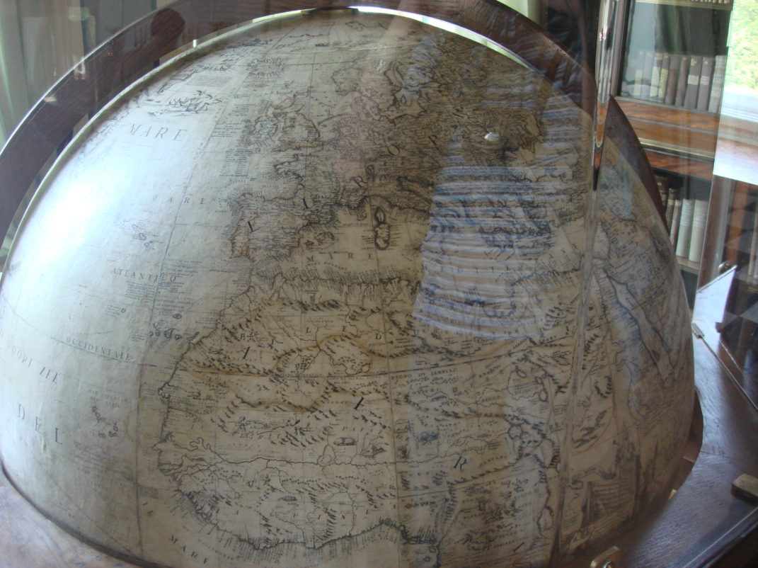
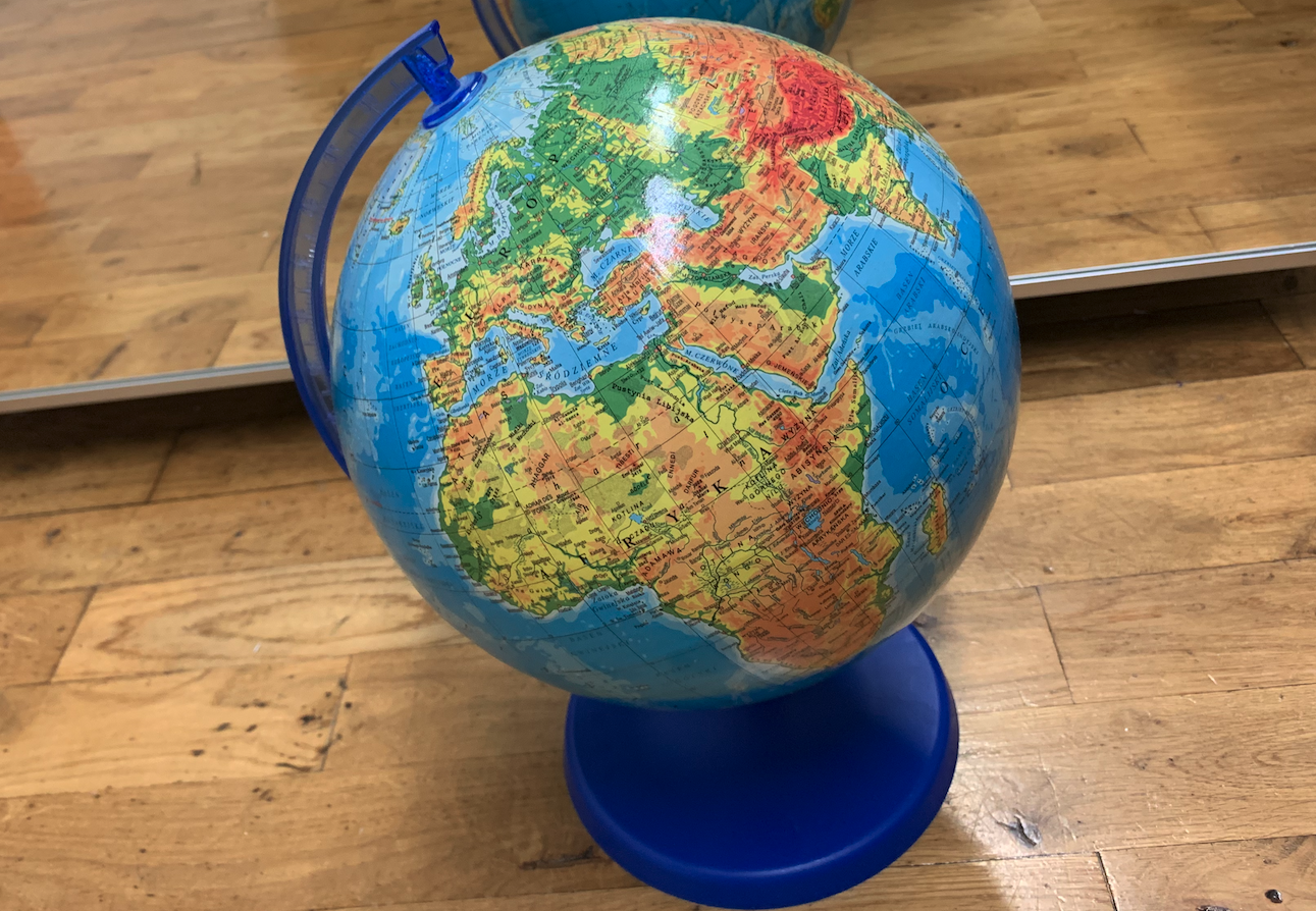
Globus (from the Latin word globus – sphere) is a reduced model of a celestial body (usually the Earth) or a celestial sphere in the form of a sphere placed on an axis set at an angle corresponding to the angle of inclination of the axis of a given body, on the surface of which there is a map of the original. The advantage of the globe is the lack of distortions that appear when mapping the image of the terrain (map) on a plane. The oldest globe in existence is Martin Behaim’s globe from 1492. The oldest in Poland is the globe from around 1508, called the Jagiellonian, it is one of the first on which America was marked.A globe would be ideal for deep sea and air navigation. On it, it would be easiest to give navigators the shortest path. But such a globe would have to be large, and its use would be difficult. Therefore, the spatial arrangement (which is the globe) was transferred to two-dimensional paper. The geographic grid has become a cartographic grid, that is, a system of meridians and parallels on a plane on a map.
Written by Karol Placha Hetman


